Wadi Bustan
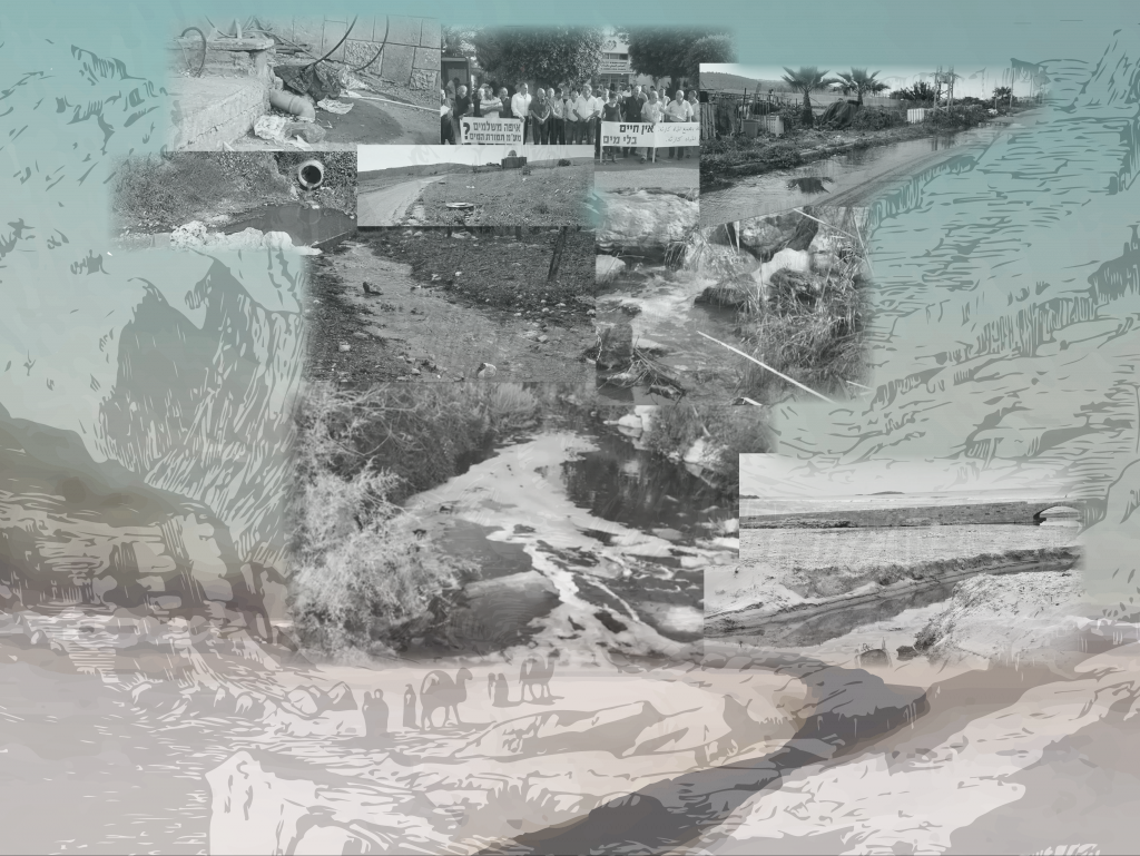
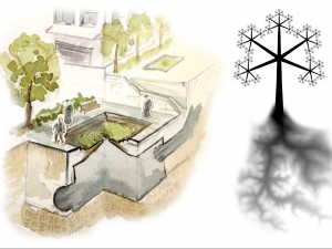
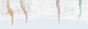
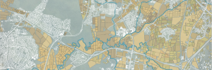
Most of the rivers in Israel and especially the rivers that meet to Mediterranean sea are polluted to some extent. One of the common excuses being said in that regard is that those rivers enter Israel, flowing for the Palestinian authorities territories, already polluted. Apparently, all rivers are polluted, even those that flow entirely in Israeli controlled territories. When examining the pollution sources, we find that more than ninety percent are sanitary associated. (extracted from GIS layer “river pollution” of the Ministry of Environmental Protection(. A zoom in on that issue reveals one of it’s reason – one out four houses in the Arab society is not connected to the sewage system. (from the Knesset report on environment impact in the Arab society settlements in 2016). Not only those towns and villages are bigger polluters, their geographic location, upstream, usually on top of hills and mountains, creates a bigger impact on the ecosystem of the river, having to carry polluted waters for most of its course. When starting to look for solutions, more problems rose to the surface – the matter of privately owned land, illegal construction and the lack of public space. In this project the focus will be on Dalyat El-Carmel, a Druze village on mount Carmel, where hopefully an offer of how to deal with situation could be implied on other similar areas.
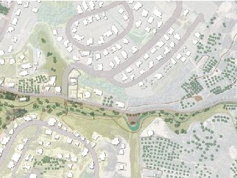
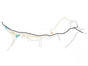
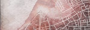
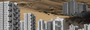
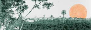
The search after a space to work in led to Bustan River. The wadi, that starts at the western side of the village, functions as a connector between the built environment and the open landscape of mount Carmel and eventually merges to Oren river all the way to Atllit shore. It’s top part is characterized by a buildings façade, impressive olive terraces and ends with a spring and a religious site holy for the Druze people. Beyond the holt sites, the river course becomes more natural and it’s surrounding change to typical Carmel thicket, scrubland, and garigue. Adjacent to the stream the is a semi-paved road, that rises controversy, connecting the village to the nearby village of Ein Hod and to highway n.4. Out of all the river sections the project design will deal with the top part of the river, near the residential area.
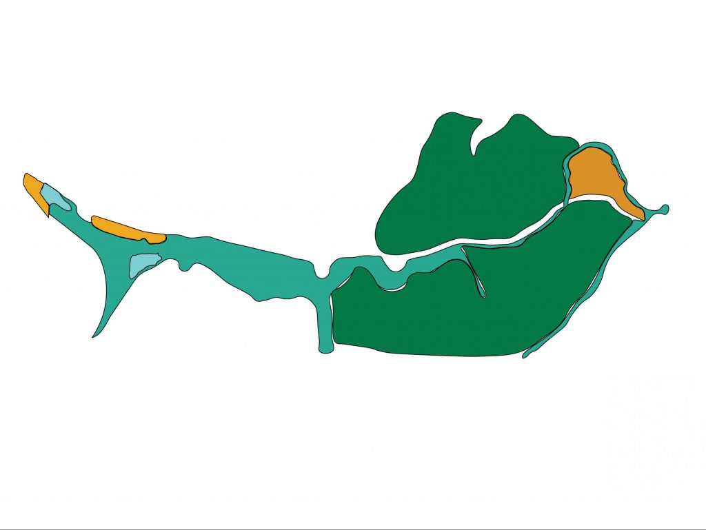
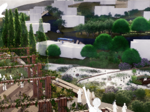
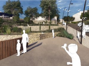
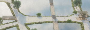
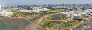
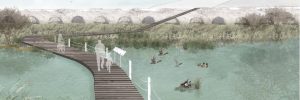
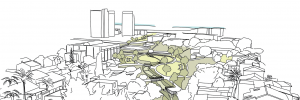
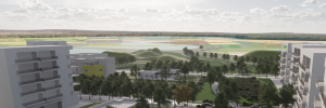
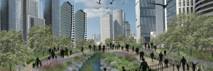
By creating a new river bank, defining guided lines for building on the river front, and creating a diverse program for residents, the design wishes to create a new river environment. The space will an open public space that will return the feeling of belonging outdoors. It will function as a flow from residential area to open landscape, and recovers a leftover ground that was in use as a pirate landfill, backyard of the village and a pollution source. The interface of river and housing, to village and religious sites, and conservation of the terraces that has such an important part in the character of the landscape, all of those will form a new entrance to to village, and a soft transition from the dense village to the open Carmel space.
