![]()
![]()
![]()
![]()
![]()
![]()
Water, one of the basic factors for urban development, is perceived as a social, economic and cultural focal point. Water can be controlled, channeled and contained, but by the same token it ‘flows’ freely in space, wild and uncontrolled, with the ability to wreak havoc while taking with it the city’s sustaining forces. Such potential future destruction depends not only on natural forces, but also on the fact that throughout history people have seen ‘urban water’ as a nuisance that must be resolved as quickly as possible.
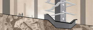
This project offers an alternative to the current approach in public space planning, which exacerbates the interrelationship of ‘water’ and ‘land’. The deepening gap between the two issues is due to development that is not adapted to existing physical conditions and to the effects of climate change, which alter the presence and amounts of water in the area. The combination of these problems may result in total destruction, manifested in flooding of planar areas that are unable to withstand the amount of water flow. In light of expected scenarios and concerns about the future quality of life, there is a need for multidisciplinary integration that provides a hydrological, architectural and scenic solution for planning urban and public spaces. This approach reestablishes the starting point and takes into account the possibility that water can be a formative force of the urban environment that may be utilized for planning.
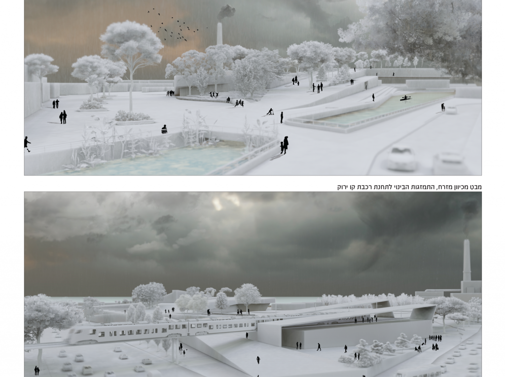
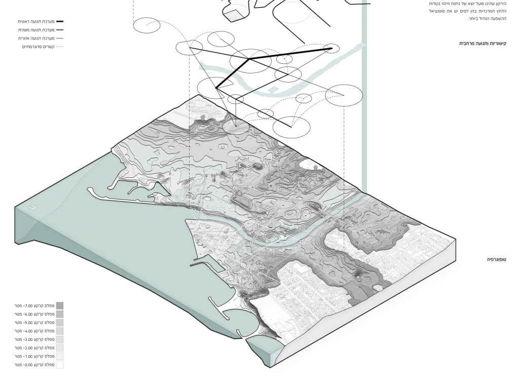
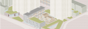
Tel Aviv-Yafo is estimated to be the city most vulnerable to flooding events that can lead to great damage and loss economically, socially and culturally. The Yarkon River, a green lung for the Tel Aviv metropolitan area, crosses the city, dividing it into different identities, with the estuarial area currently containing the most prominent contrast in terms of spatial disconnection. In addition, opposing water flow directions, existing urban drainage emissions and flow problems in the stream create pressure in the estuarial outlet to the sea and thus, in an emergency, force the water to spread along the banks of the stream, which are considered ‘flood plains’. Due to the low topographic elevation of one side of the bank relative to its other side, the ‘Yarkoni Peninsula’ complex, which is considered a space of historical value that contains many urban activities, may be submerged without any means of human control.
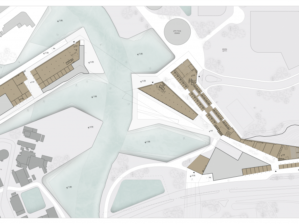
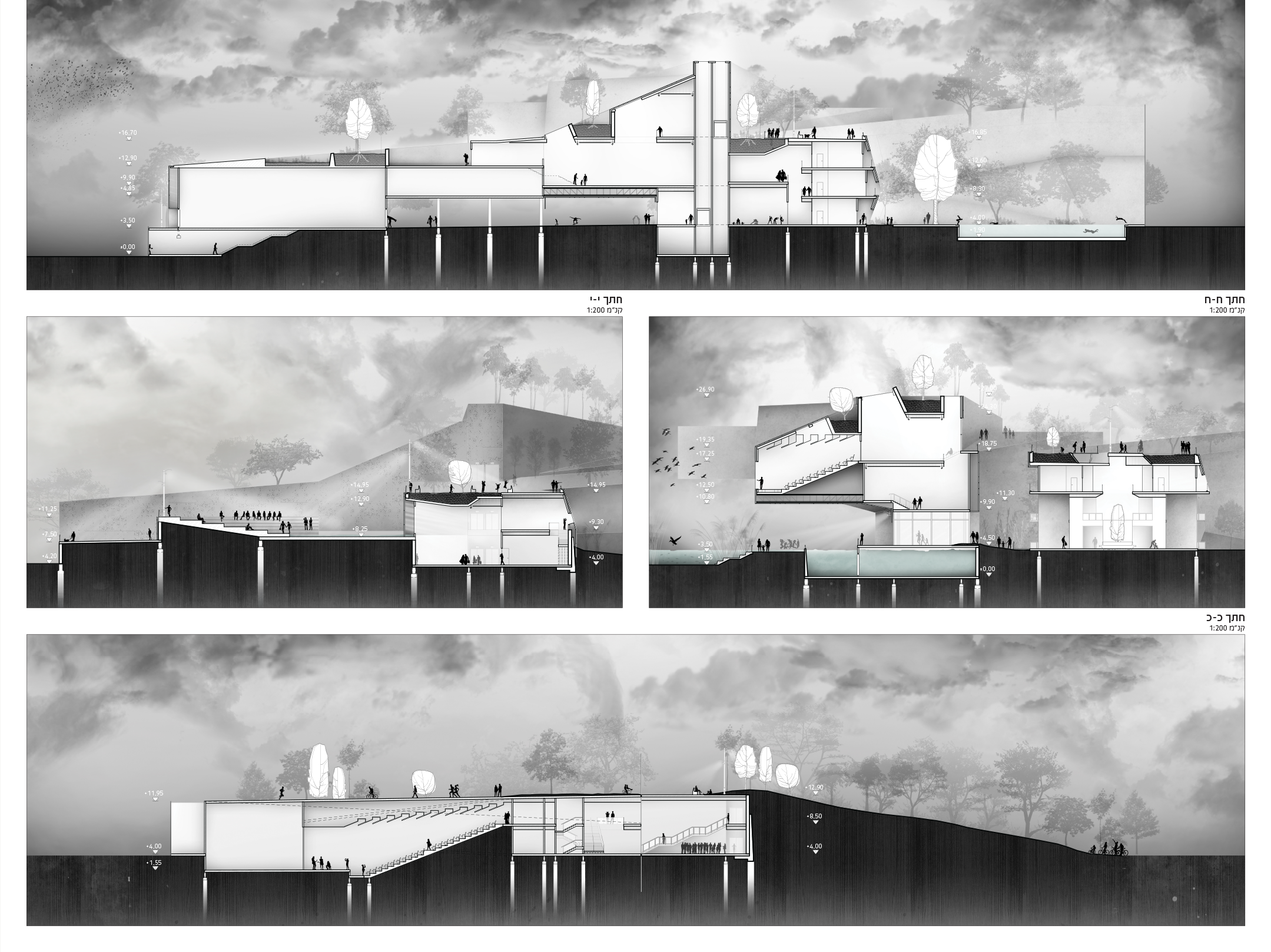
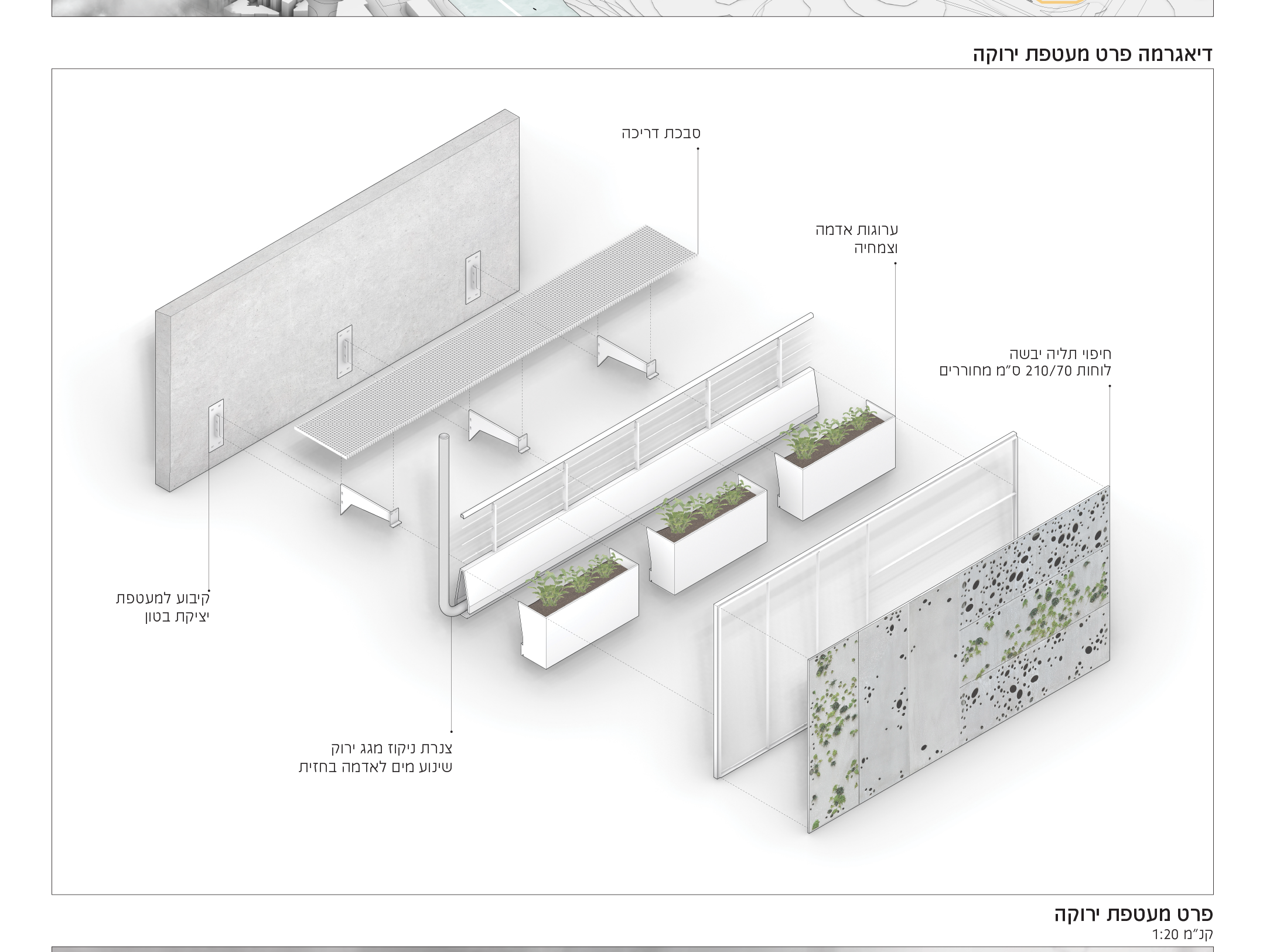
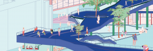
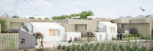
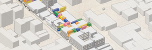
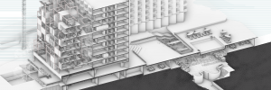
Out of concern for the lack of control over urban water, the project proposes a new topographic design using canals and branches that change the ground levels as needed, thus offering protection or adjustment, so that the water flow can be channeled and pressure points reduced. All this goes hand in hand with the design of an architectural-landscape construction system that strives to maintain a combination of several key principles that define the river banks as one space and entity: establishing a future transit system that supports urban contexts and programmatic experiences, creating estimates against climatic changes, managing and transporting water at the site, utilization and storage of water in the outer parts and on the roofs of buildings, which constitute a fifth façade in line with the principle of ‘prevention at source’ and renewal of the city’s façade facing the stream.