Protection Strip
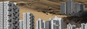
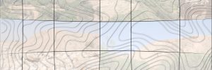
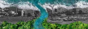
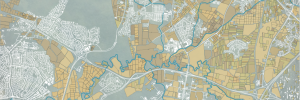
The city of Nahariya was built on the Gaaton stream and on its floodplains. The city plans to continue to grow, mainly towards the undeveloped agricultural fields to the east, in order to accommodate the expected population growth. Increased growth will threaten the surrounding environment and increase the already present risk of flooding, damage agriculture in the surrounding areas, and further decrease the limited green areas in the city. It is therefore necessary to review the relationship between the urban and the rural, and to find a solution that allows them to coexist.
A review of many of the proposed plans shows that while much attention is devoted to the rehabilitation and preservation of the ecology of the stream in the undeveloped rural areas, this is not the case for the parts of the stream within the city.
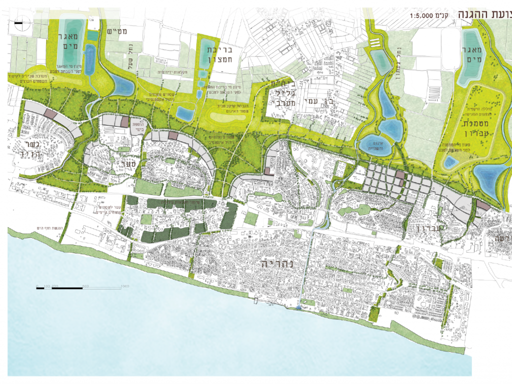
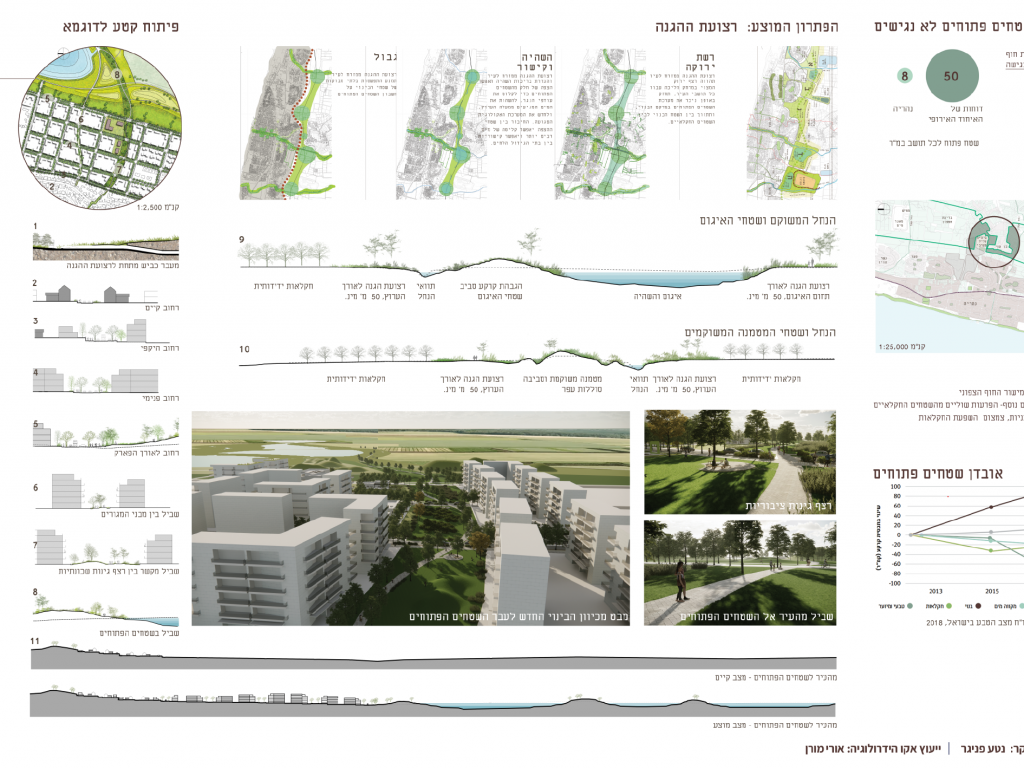
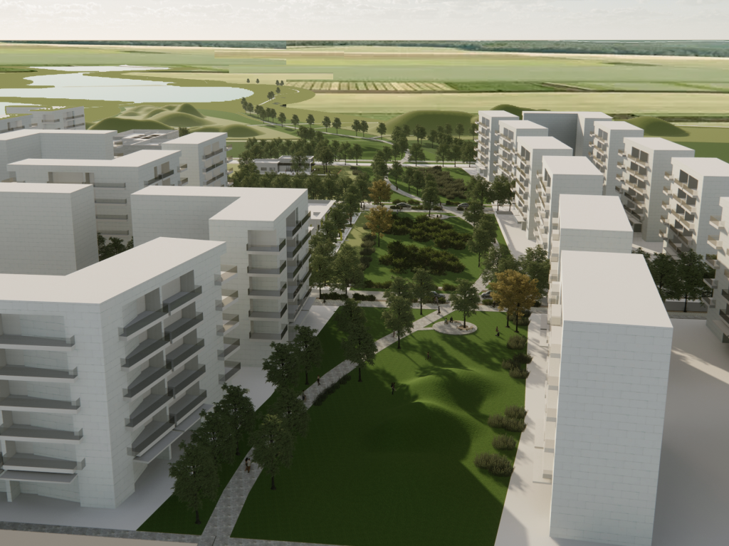
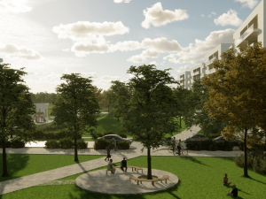
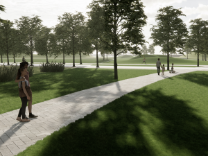
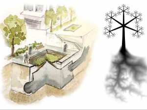
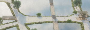
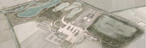
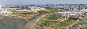
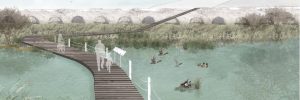
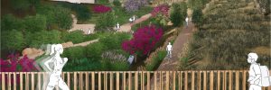
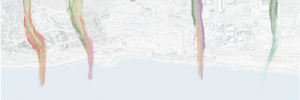
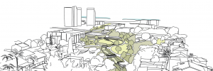
The proposed plan seeks to define a new green protection strip to the east, to create a clear boundary between the built urban areas and the surrounding countryside. The strip would include areas for intense activity adjacent to urban neighborhoods, and open areas with natural landscapes east of them, bordering on agriculture fields. Urban infill and regeneration would increase the number of dwelling units in the city, new parks and walkways would connect existing gardens to the new strip to create an accessible network of green places while incorporating the Gaaton stream as a unique green space within the city. Designated areas in the strip would allow stormwater retention and absorb the vast quantities of water coming from upstream, helping to prevent flooding. The strip would strengthen existing ecological corridors, protect them from further development and help in restoring habitats. The area between the city and its surroundings would become a significant public open space.


