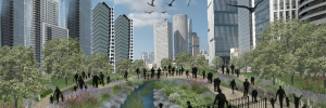
The Cabara Wetland | Resorting the cabara wetland as a source of community and environmental resilience in Hof Hacarmel
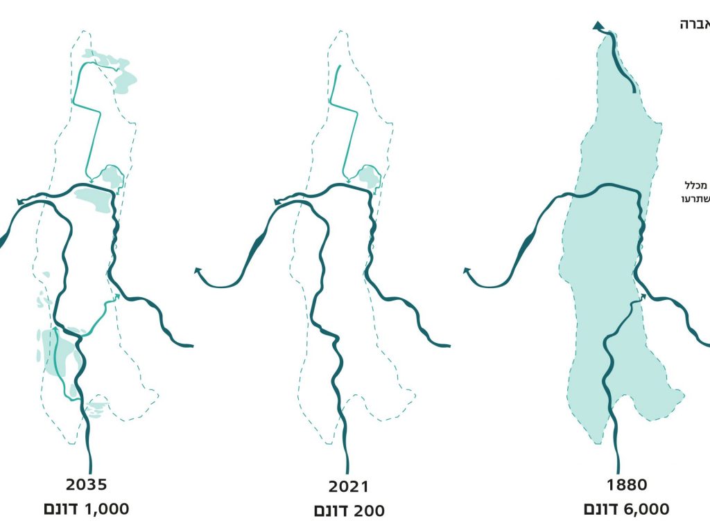
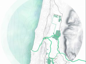
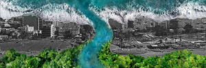
In the past, the Israeli shoreline was characterized by wetlands, providing a habitat for many unique plants and animals, some of which are now extinct. Those wetlands have undergone massive transformation by humans since the period of Roman rule. The wetlands were drained, the water exploited, and over time water technologies improved as the population and use of water increased. As a result, the wetland ecosystem has almost completely vanished disappears from our landscape. Yet despite those massive changes, the water that nourished these systems still exists, under the surface, in the water dams upstream or in seasonal flooding.
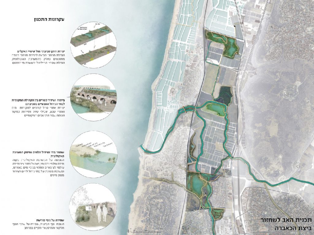
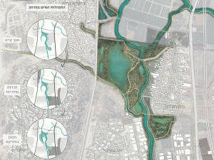
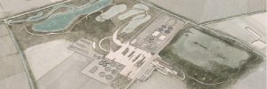
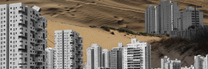
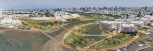
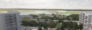
Worldwide, there is growing awareness of the importance of wetlands, of their contribution to the surrounding ecosystem, to the human environment and to the potential for these bodies of water to support the mitigation of climate change. Today, the main land uses in the Cabara wetland are agriculture, fish ponds, small community settlements and semi-urban larger settlements such as Or Aqiva, Zichron Yaacov and Binyamina. The area’s master plan is aimed at doubling the population by 2035, as a result of which open spaces will be reduced and the area’s drainage capacity will diminish. To address the increasing population density, the project proposes restoring the Cabara wetland, first through ecology restoration and habitat rewilding, secondly by increasing the open drainage space for larger amounts of rain runoff, and thirdly for use as a natural, green open space by the growing local population.
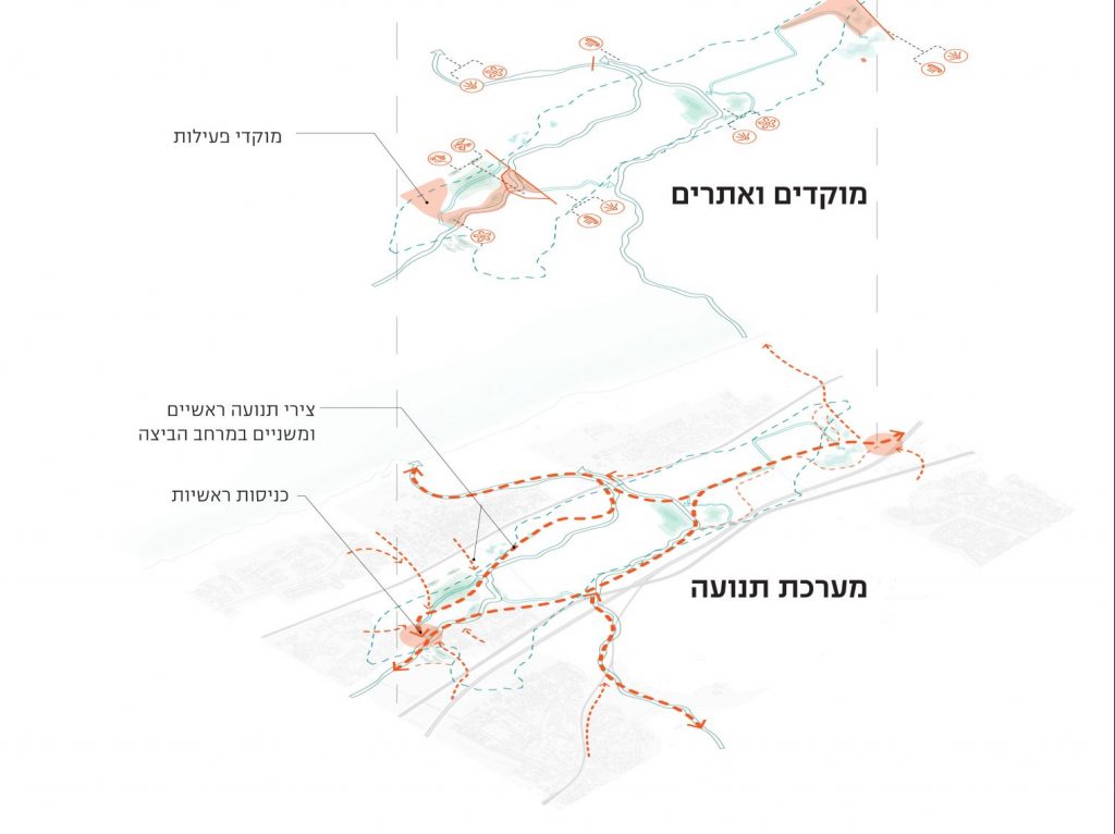
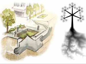
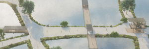
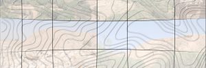
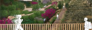
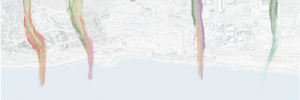
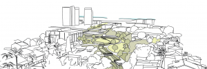
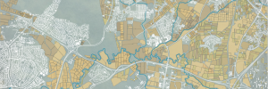
The Cabara restoration project seeks to create a new landscape that connects the local communities with naturel and historical values. Such action offers an alternative to the tremendous conflict over water resources among its various consumers, the human ones and the natural ones – the wetland. The project maps and categorizes the value of different spaces, indicating potential areas for restoration of the Cabara wetland. The project operates along three main tracks: first, reordering the water system to restore habitats and prevent floods; second, creating a network of walking trails and connecting among the surrounding communities; and third, creating a tourist site on a local scale that conveys the local history and nature.


