ON THE MAP
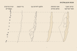
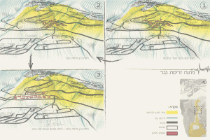
The lack of recognition for Bedouin settlements in the Negev, which have existed since before the establishment of the state, has resulted in the absence of both current and future planning for these communities. This situation prevents the Bedouins from expanding and developing their settlements, leaving them disconnected from essential infrastructure and the environment. Consequently, their lifestyle, quality of life, and opportunities are severely impacted. The state has presented the Bedouin with a stark choice: either leave their ancestral lands and relocate to one of seven designated towns meant to consolidate the entire Bedouin population or remain in their unrecognized villages. These designated towns were planned without considering crucial factors like location, settlement characteristics, population growth, or the Bedouin’s environmental and occupational needs. The state has offered no alternative planning solutions tailored to Bedouin needs, instead ignoring their existence in future development plans while building Jewish settlements on their lands.
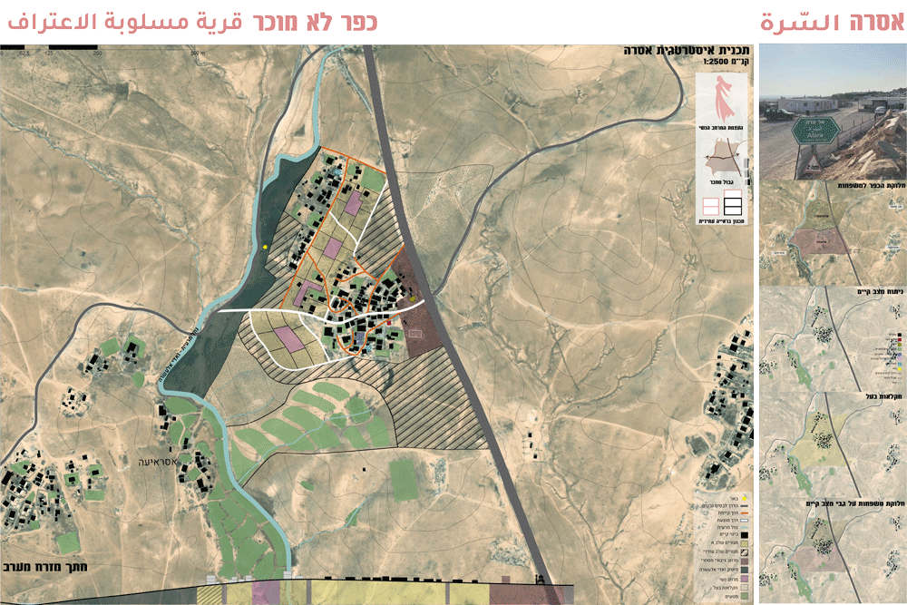
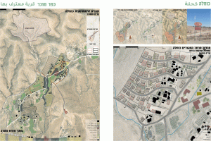
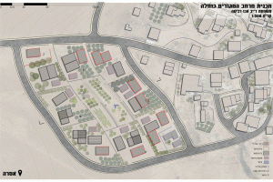
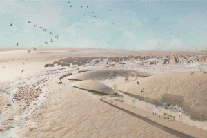
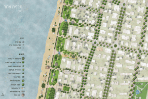
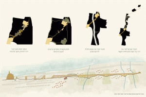
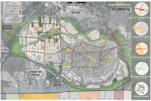
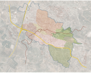
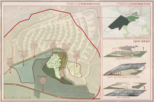
This project challenges that reality through urban planning interventions, proposing alternative future scenarios for two selected Bedouin villages in the Negev: the well-known Kuhla (كحلة) and the lesser-known As-Sirha (السرة), both located west of the Bedouin town of Kseifa (كسيفة). The project explores the current status and future potential of these villages, comparing the differences between a recognized village with a defined “blue line” and an unrecognized village without official state recognition. It raises the question of how official recognition and defined settlement boundaries benefit a recognized Bedouin village in the Negev.
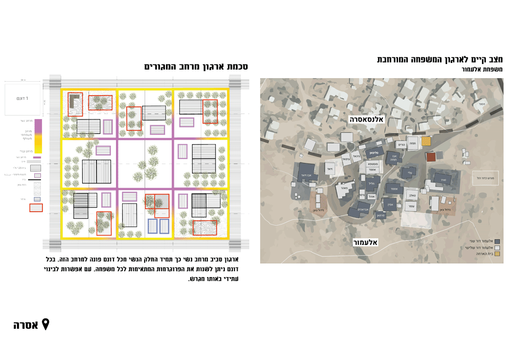
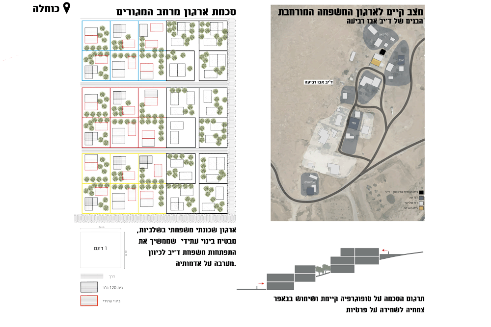
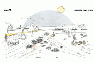
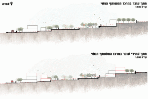
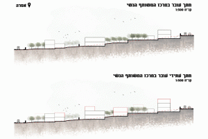
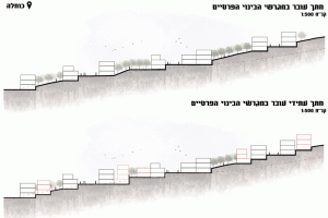
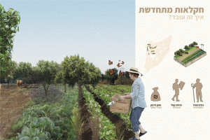
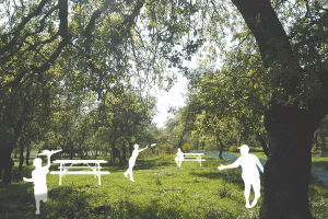
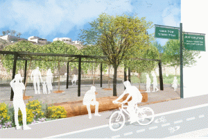
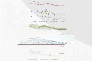
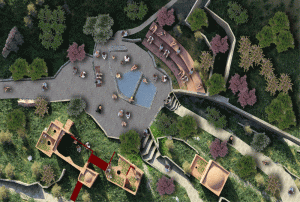
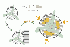
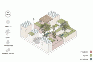
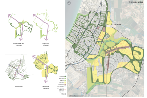
The planning proposes a range of design solutions for the two villages, taking into account their environment, land ownership claims, culture, traditions, movement patterns, collective needs, and the specific needs of Bedouin women, as well as their future outlook. For As-Sirha, the plan includes proposed residential neighborhoods extending the existing road system, which are divided into plots for future construction, along with a shared public commercial space, and a park for all residents. In contrast, the plan for Kuhla envisions residential neighborhoods with established construction areas and private plots for each family, allowing for legal agriculture on undeveloped land and a central road connecting the village.
Achieving this vision required intimate familiarity with Bedouin life, in-depth studies, and a deep understanding of complex family patterns that are often inaccessible to outsiders. Additionally, knowledge of land value and distribution among clans and families, which create unique spatial relationships, was crucial. This topic warrants further exploration and development in the field of urban planning.


