The Krayot network – connecting spaces
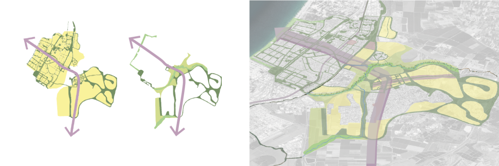
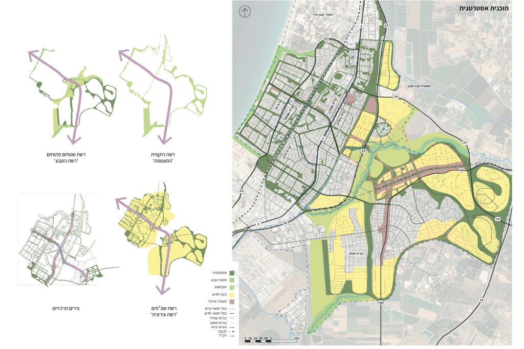
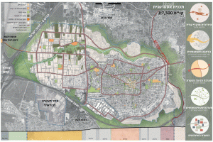
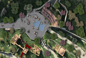
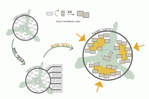
This project offers a renewed perspective on the Krayots, focusing on the integration of space into a cohesive whole through various connection systems.
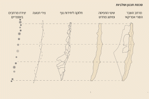
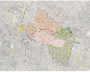
The Krayots, established along Haifa Bay in the 1930s, arose from a Zionist desire to create a continuum of Jewish settlement in Israel. Each Kriya developed differently due to the settlers’ diverse backgrounds and the lack of an overarching vision for connectivity, resulting in disconnection among the Krayots. While recent growth has transformed them into a single urban block, physical and mental barriers persist.
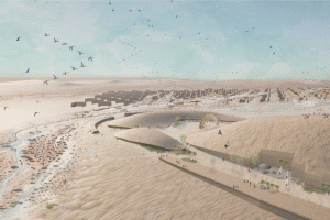
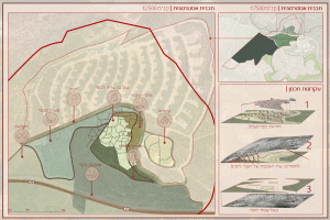
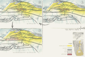
Infrastructure, particularly the railway line and Highway 4, serves as a significant barrier to connectivity between the Krayots. Additionally, the potential of local natural resources, such as the beach and Nahal Gdora and Shfara’am, remains untapped, while future urban development threatens the open areas surrounding the Krayots.
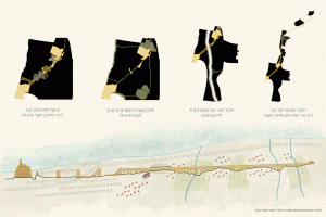
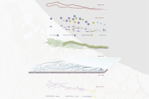
The project focuses on two main systems:
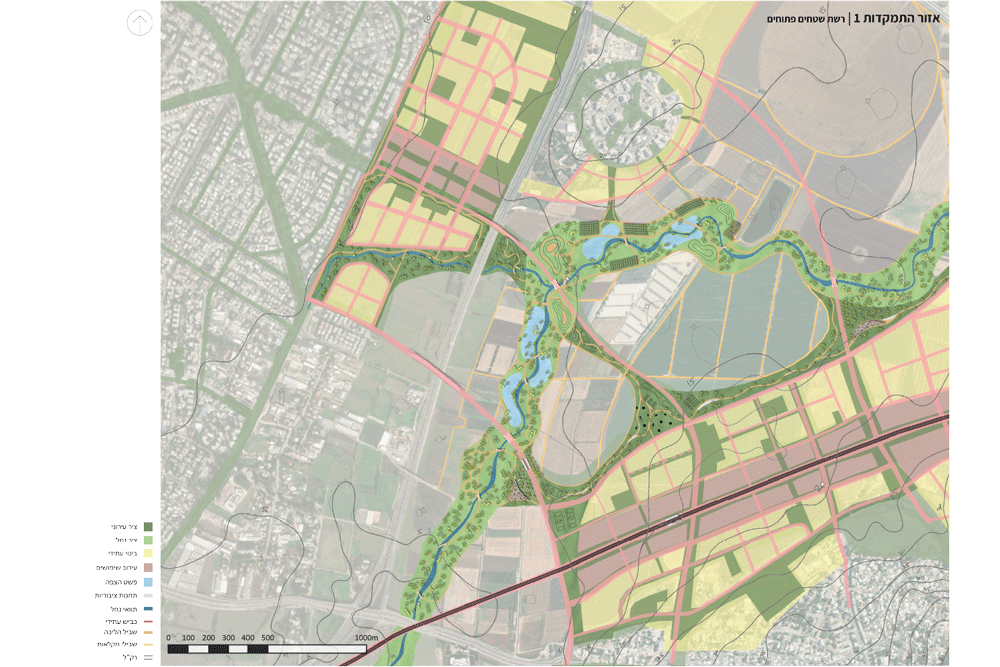
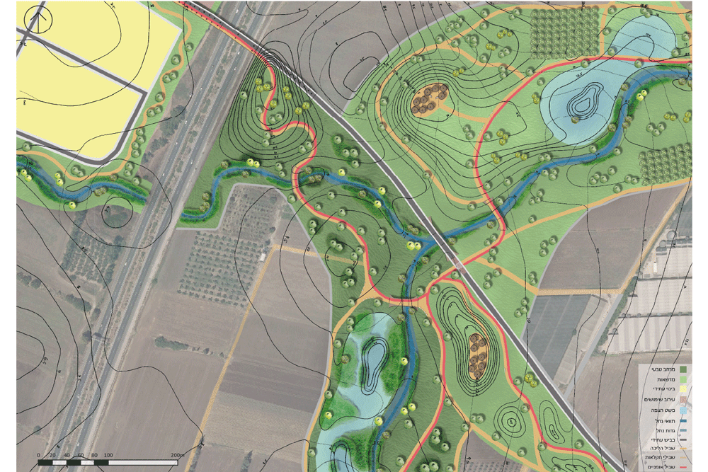
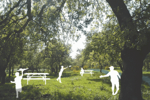
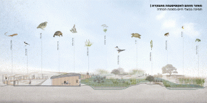
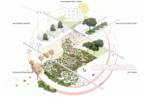
- Natural Network: This involves connecting and preserving a series of open spaces to harness their natural potential.
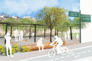
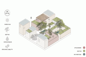
- Urban Network: This is based on the existing systems of parks, green areas, and major roads.
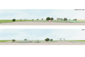
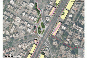
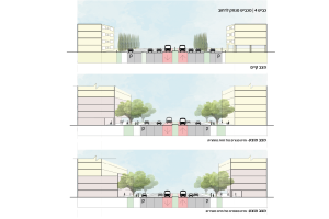
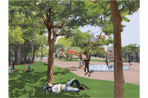
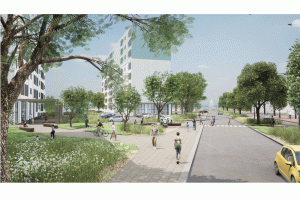
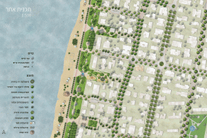
By intervening in selected traffic routes and streets, the project aims to foster physical connectivity between the cities through the development of a green network. This sequence of open areas will enhance existing natural treasures, such as the coastline and streams, thereby creating vital connections among the Krayots that were absent at their inception.


