![]()
![]()
![]()
![]()
![]()
![]()
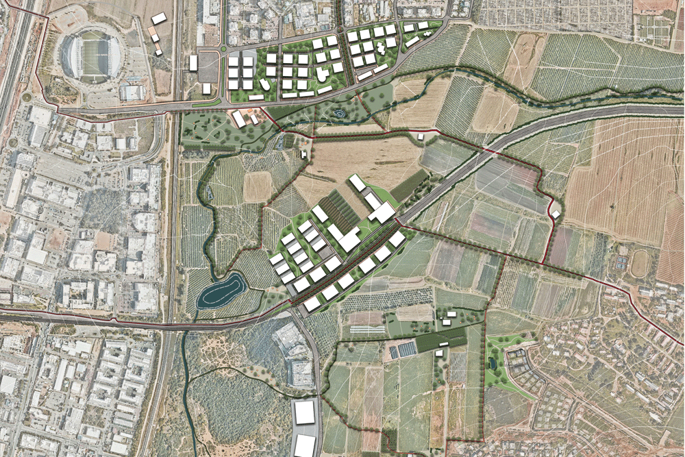
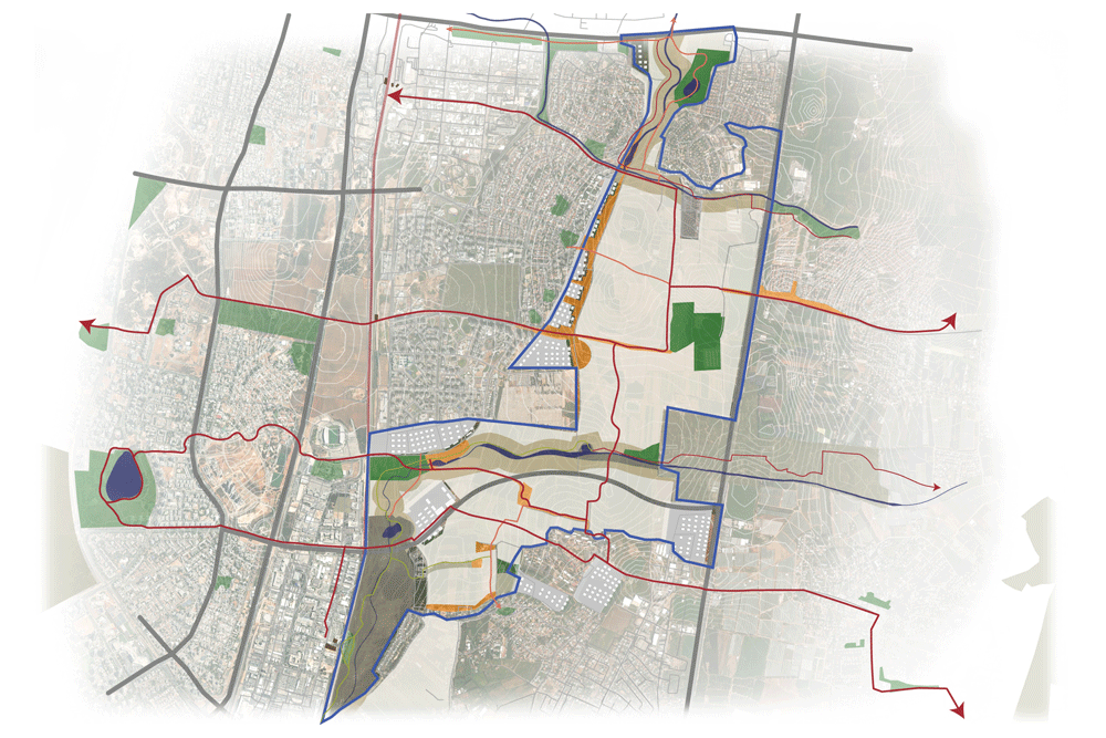
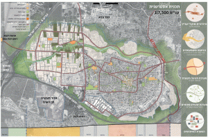
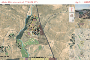
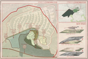
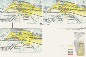
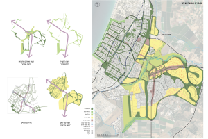
The Sharon landscape serves as a mosaic of natural and agricultural values, embodying living memories of the increasingly disappearing rural zones. The Israeli National Outline Plan has designated the area east of Netanya as an urban fabric despite its significant landscape, heritage, and rural residential characteristics.
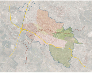
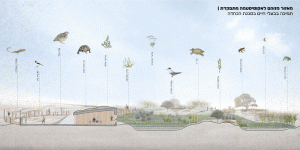
Consequently, urban development has pushed agricultural lands and natural areas away from settlement centers, interrupting the continuity of open spaces and harming the resilience of the natural system. To preserve the role of open space as an ecological corridor and as a valuable landscape feature of the Sharon region, it must be treated as an integrated system and foundational to any future development.
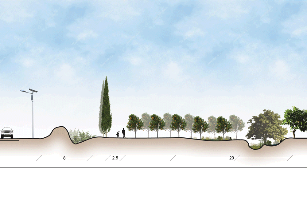
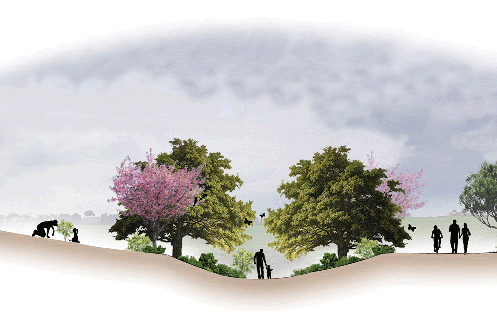
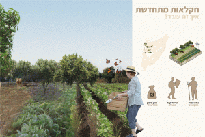
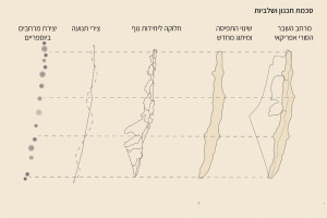
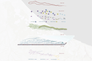
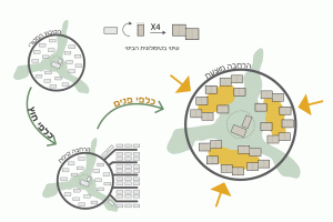
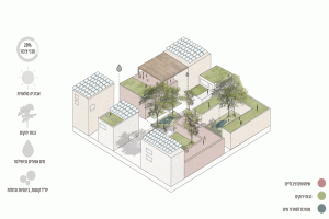
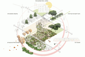
Therefore, there is a need to establish a green infrastructure comprising areas of varying ecological sensitivity, functioning within a productive agricultural framework. This system should integrate nature, leisure, and community.
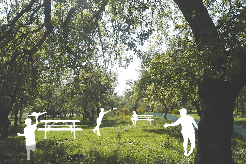
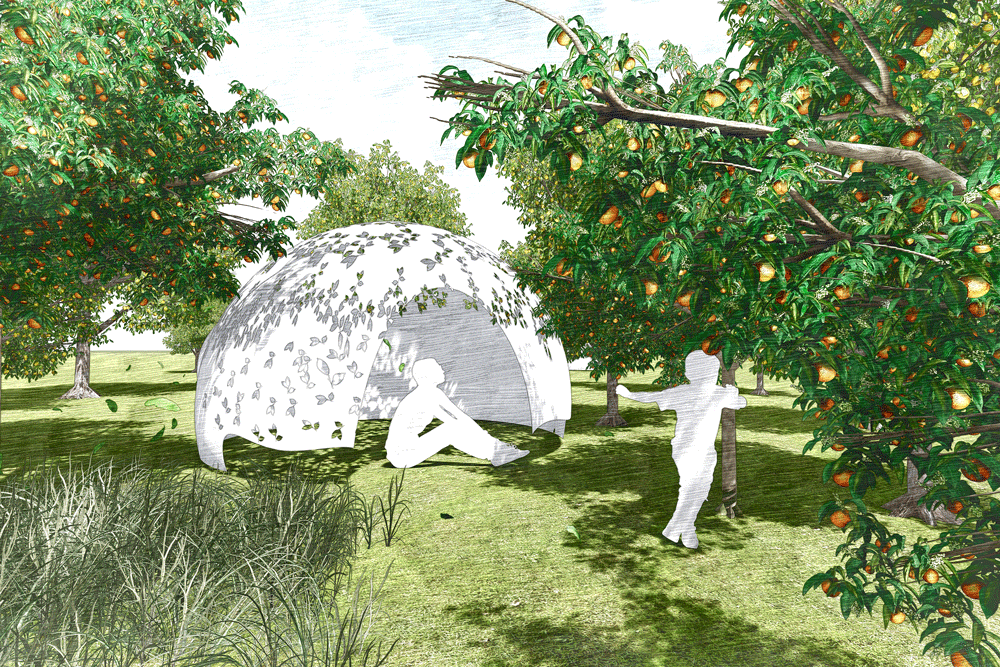
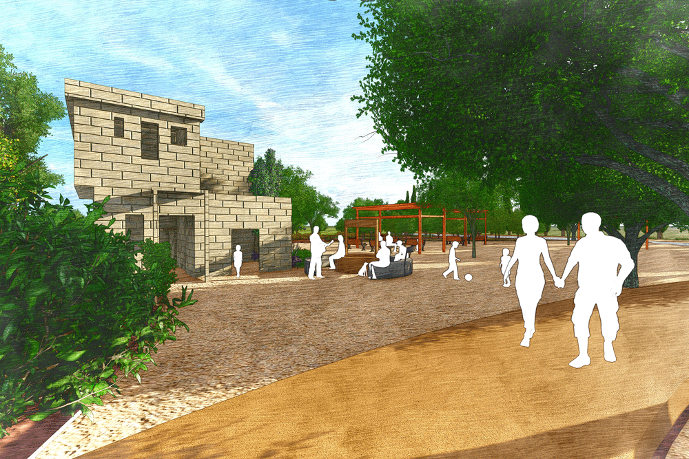
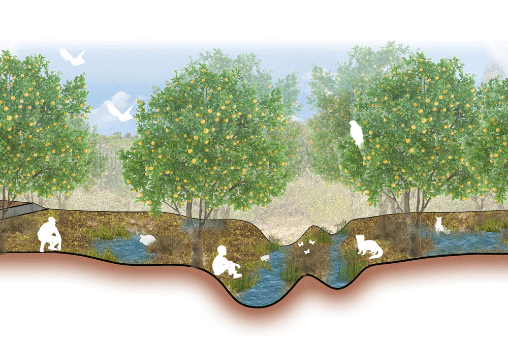
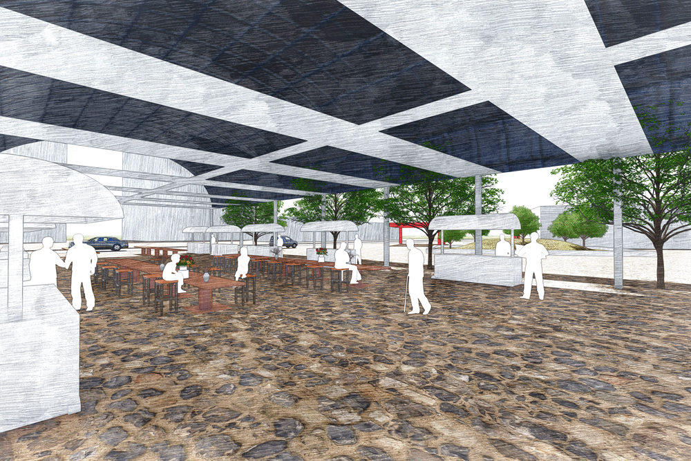
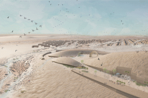
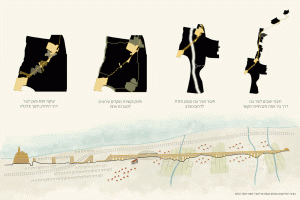
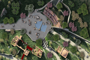
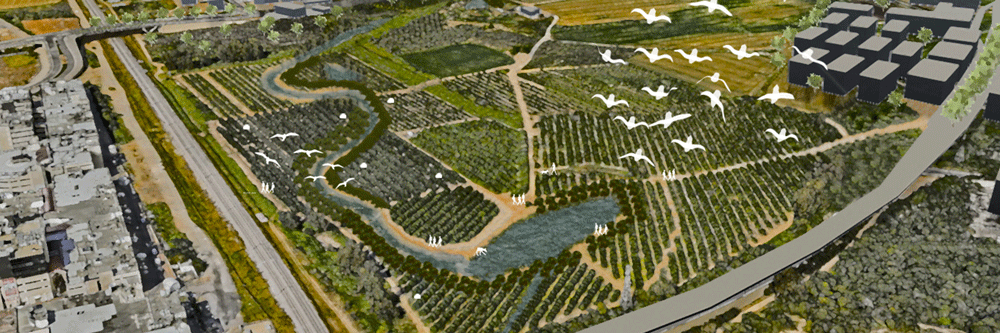
The proposal identifies development sites within the agricultural area while also restoring the natural system. Abandoned heritage sites, such as Ottoman well houses located within the fields, will be transformed into community recreational spaces. Clusters of ancient oak trees between the fields will be developed into public gathering areas, and seasonal streams will be restored as special natural spaces within the ecological corridor. All these elements will connect through a public transportation system utilizing existing agricultural roads as routes linking the settlements of the Sharon.
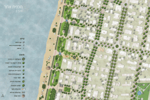
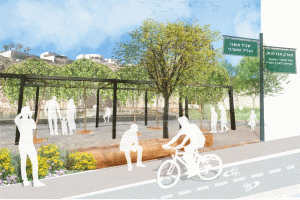
This project aims to extend leisure and daily activities into open spaces, thereby strengthening the connection between the local community and the landscape. It specifically focuses on the boundary between the city of Netanya and the agricultural area to the east, an area designated for extensive construction adjacent to a metropolitan resort.