Pixelated Territory: Land-Shaping Mechanisms
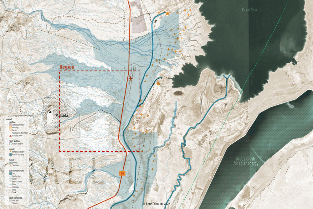
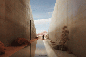
The Dead Sea is deteriorating due to climate change and the over-exploitation of water sources for development and industrial human activities. This situation significantly affects the landscape, environment, and human activities taking place there. Consequently, the government has decided to assist the local population and regional authorities in addressing these damages and reducing associated risks by strengthening the infrastructure and empowering employment, research, and desert agriculture in the region.
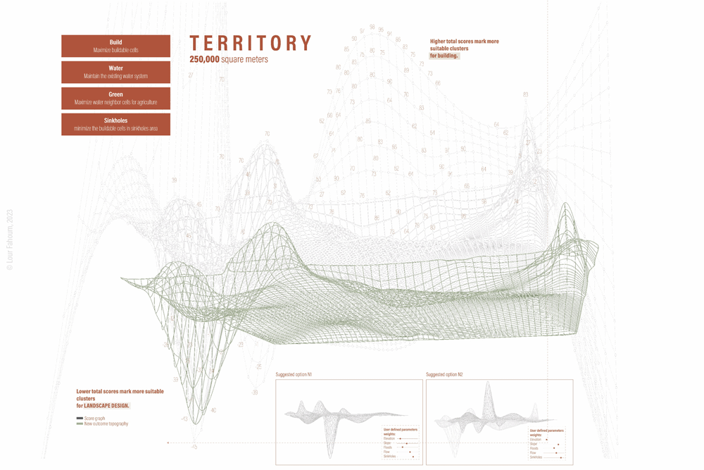
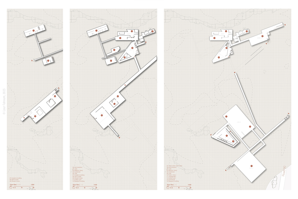
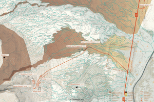
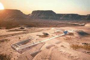
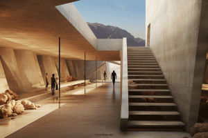
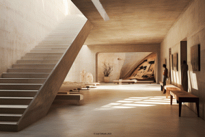
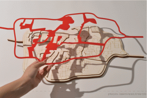
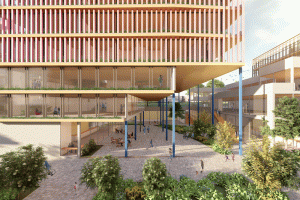
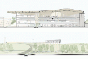
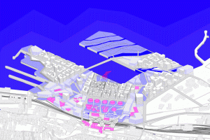
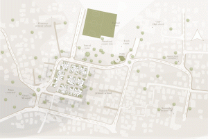
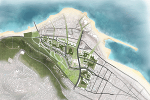
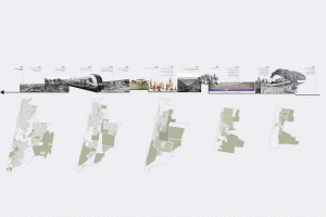
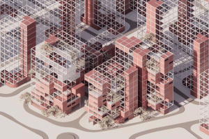
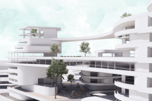
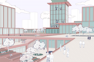
The project examines how analyzing ecosystems and physical characteristics in each area can help mitigate the adverse effects of construction on nature and the environment. In other words, Pixelated Territory is an urban design project that aims to present a methodology for analyzing and planning sites more effectively based on promising approaches that address the challenges posed by climate change, as well as improving urban design through concepts such as landscape urbanism and design that incorporates nature principles. The methodology involves analyzing high-resolution data on the desired landscape and proposing infrastructure changes to produce simulated scenarios of sustainable urban development. The project recognizes the potential for developing a sustainable planning proposal to promote employment and research in the Dead Sea by establishing a research campus near Masada tourist and research points connected to Road 90. The proposed design has a small-scale focus to represent the architectural output of the suggested large-scale planning methodology. The ultimate goal is to utilize natural resources to minimize the negative effects of human interference in the landscape.


