Tools for Creating Urban Livability
Research and projects examining the relationship between the characteristics of public spaces in dense, modern cities and the mental health of their inhabitants reveal a direct connection between urban living and an increased risk of declining mental health in various ways. Despite extensive knowledge of urban planning, many public spaces fail to leverage this information effectively. The current research aims to deepen and clarify the relationship between urban characteristics and the mental health of residents.
The research question is: How does urban spatial planning affect mental health in dense and modern cities? This inquiry is related to the field of urban livability. The findings of this project will contribute to developing a set of parameters and spatial guidelines for updating existing urban policies and creating a new urban organization that considers the unique needs and identities of each city.
The main hypothesis is that more comprehensive and detailed planning will lead to greater improvements in mental health. The research employs both qualitative and quantitative tools, including literature reviews, observations, mappings, drawings, and statistics. Positive findings from a case study have been used to analyze the components of a healthy urban structure, forming the basis for creating spatial guidelines to promote well-being. By examining various aspects—such as urban solitude, well-being, mental health, urban mixed-use, and the human dimension—a set of parameters and spatial guidelines has been developed to update urban policies. These tools will help reorganize the urban environment of future cities based on their specific needs and identities.
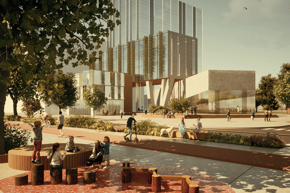
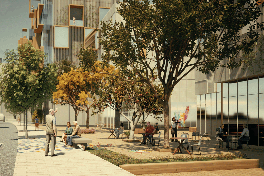
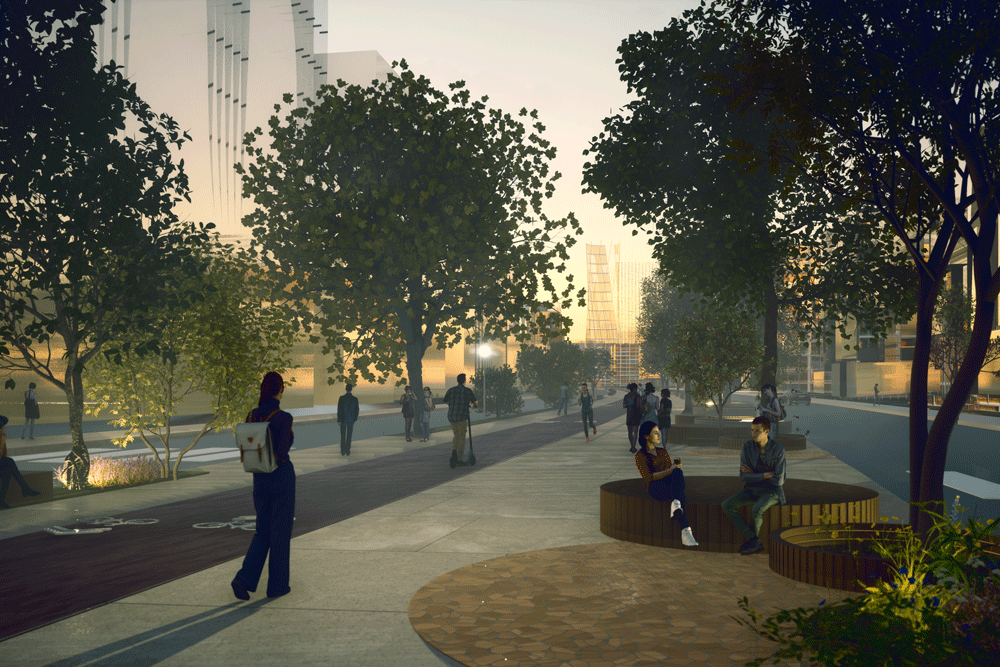
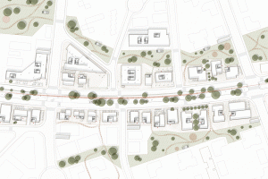
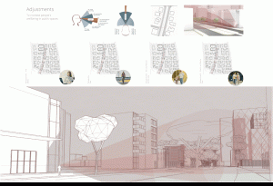
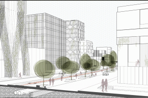
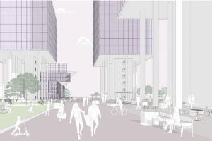
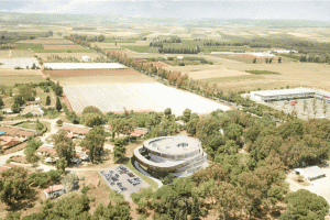
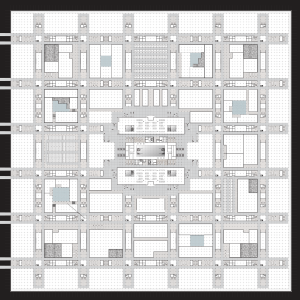
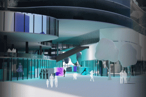
The analysis process, which includes climate analysis and 3D human analysis, focuses on understanding where the human gaze lands in the urban space. This approach has led to the formulation of planning principles that provide a solid basis for planning, analysis, and adjustments for redesigning a central boulevard in the selected urban area of the Naot Peres neighborhood at the southern edge of Haifa. This soon-to-be-built neighborhood is an extension of a recently developed area criticized for its lack of connectivity and the replacement of green spaces with parking lots.
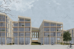
The intervention strategy integrates local components with the parameter tools developed to plan a boulevard that prioritizes urban livability. The next stage involves detailed planning and human-scale development, reexamining the analysis tools, and iterating until the desired urban structure that upholds these principles is achieved.


