![]()
![]()
![]()
![]()
![]()
![]()
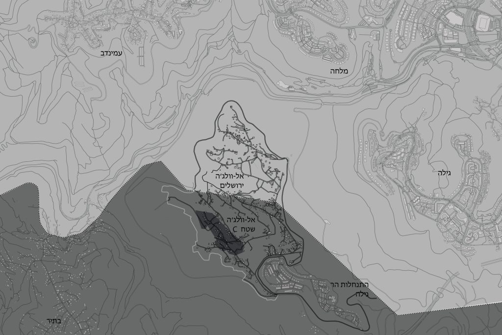
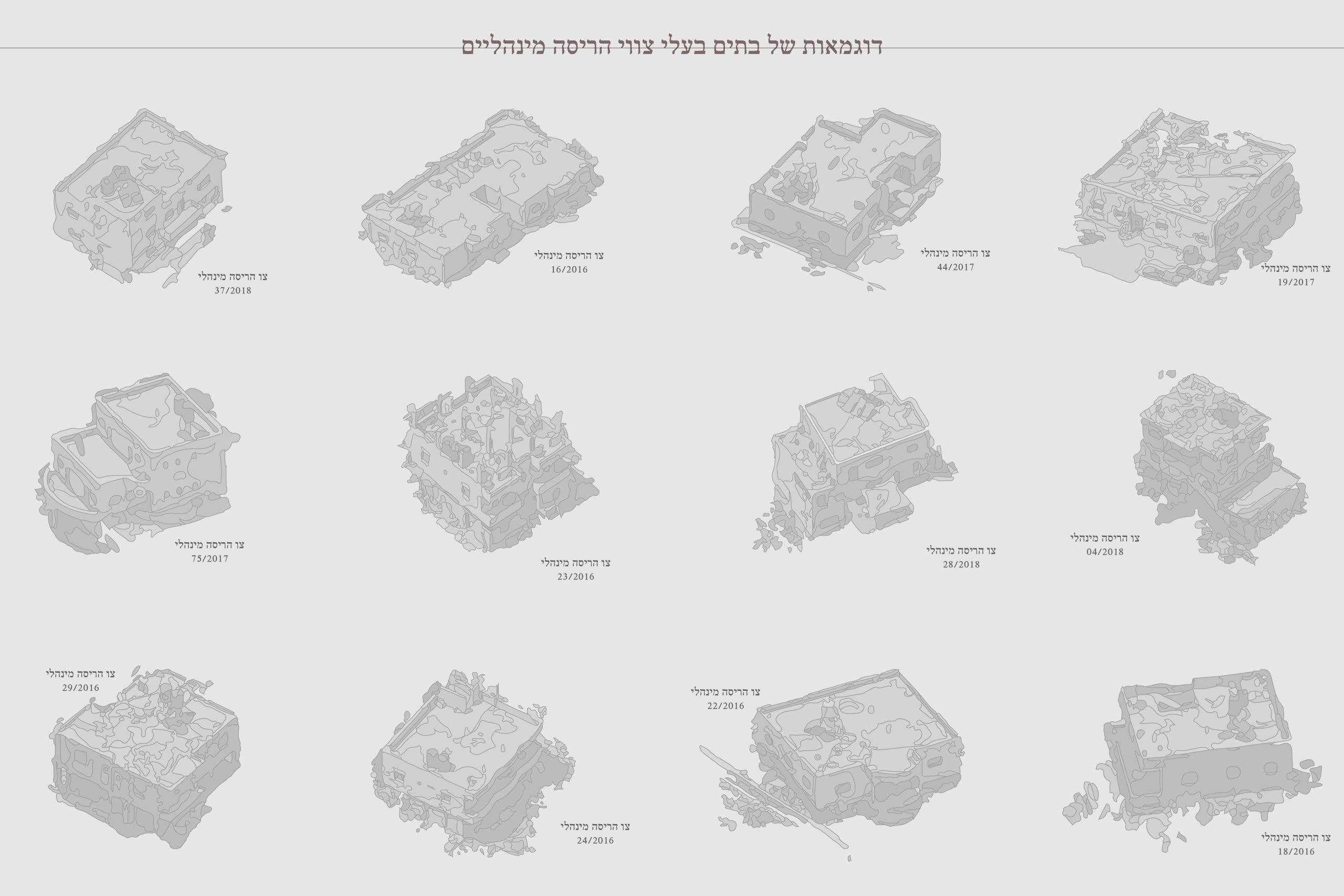
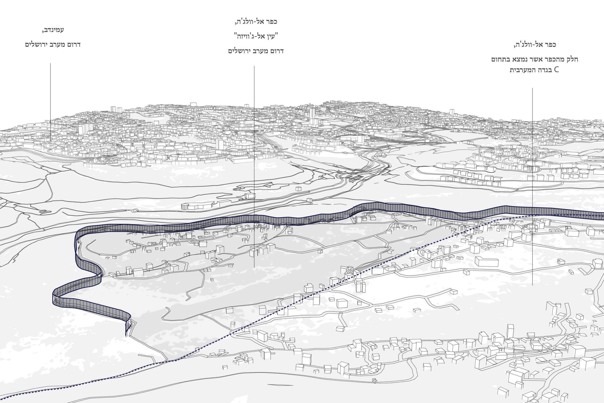
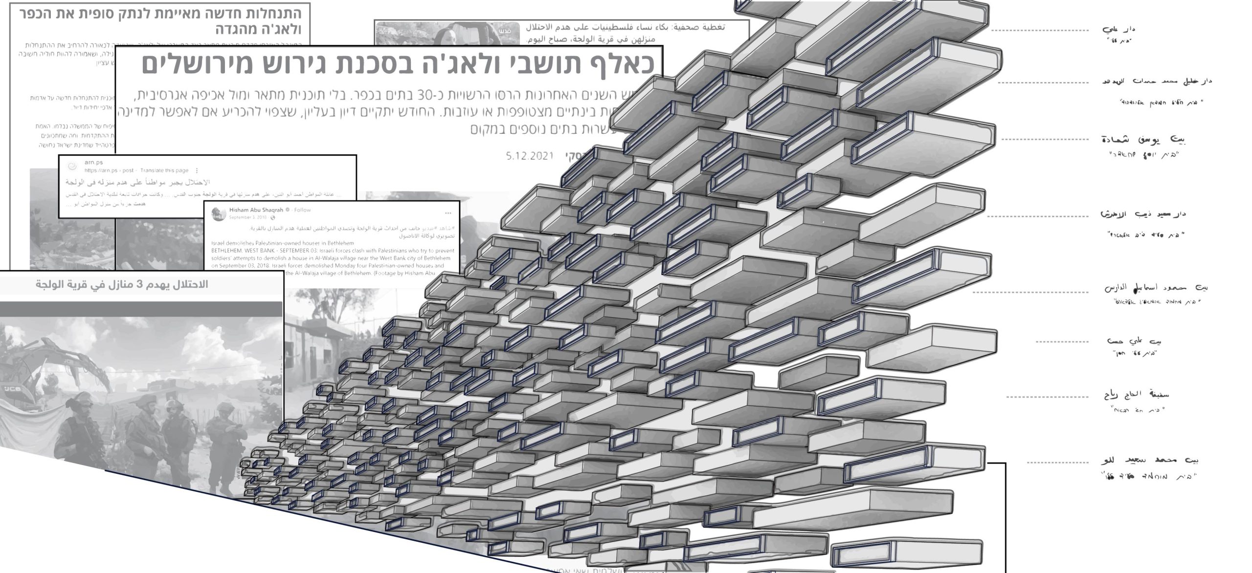
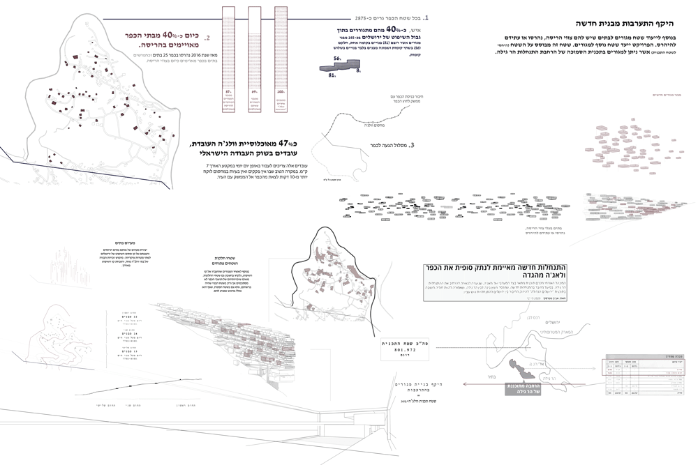
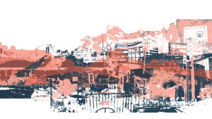
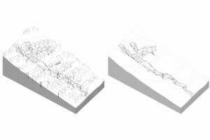
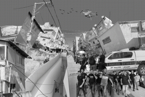
In a uniform area, which may be perceived by an uncritical eye as one region, a straight boundary line divides the land into two separate spaces. This line, which is indiscriminate and based on no spatial criterion, passes by and separates neighboring houses. It carves up land that was once whole, gives and takes away rights, and separates generations of families without responsibility or consequences. In this context, the population of the village of Al-Walaja belongs to a purely functional space that contains extended families, who are often divided between the two areas of Walaja Jerusalem and Walaja Area C. Such families do not have the same administrative affiliation due to the dividing line. Although Al-Walaja Jerusalem is a residential neighborhood and not an open area, and though there is no intention to build infrastructure there, the Land Enforcement Authority inspectors visit the village frequently and issue demolition orders, which are carried out immediately unless there is an objection to the order’s execution. About 40% of houses in the village under the jurisdiction of Jerusalem are slated for demolition. In the absence of an outline plan, the petitions filed are dismissed one by one, and the demolition orders are executed shortly after the verdict is issued.
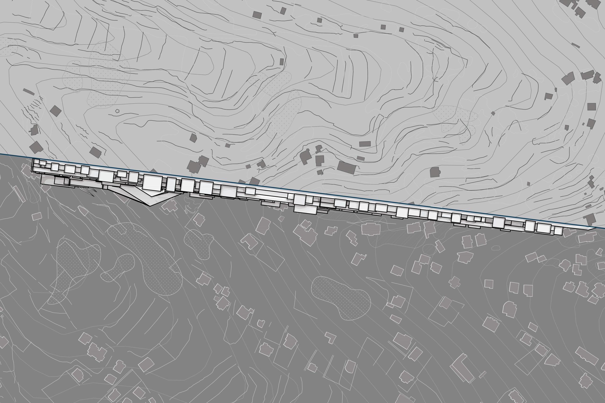
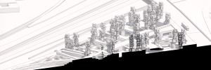
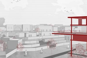
The project explores how the arbitrary boundary line imposed on the village can be critically used as a spatial tool for the physical presence of this absurd situation in which the inhabitants have found themselves. It highlights the implications of how the boundary carves up the land.